Planning, analyzing, budgeting, or reporting. GIS is that and more…
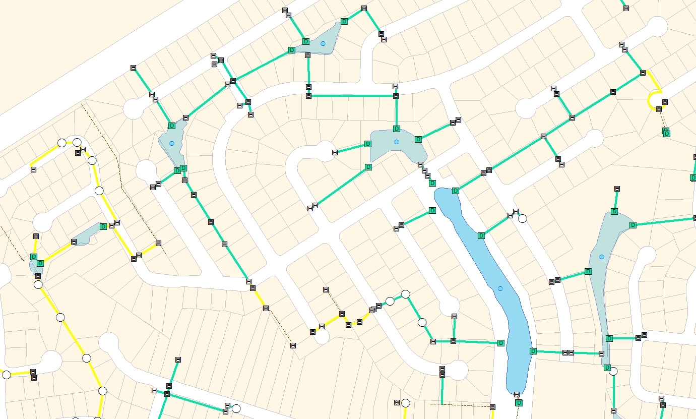
Real-time access to data, up-to-date information with high accuracy
Verifying your data via remote sensing like imagery, LiDAR, or GPR can elevate trust in your data
Enterprise Geographical Information Systems (GIS) consist of data, workflows and...
Spatial Engineering is a leading geospatial engineering firm located...
RightSpot is a collection of services and technologies designed to provide GIS services...
Automate business processes and simplify routine operations to provide...
Methods for collecting or verifying real-world as-built data so that...