RightSpot™ Municipal GIS Services, Richmond Hill, Georgia
Richmond Hill Enterprise GIS using web technology giving all City employees access to GIS data
Richmond Hill Enterprise GIS using web technology giving all City employees access to GIS data
170 facility Real Property Space and Man-power survey
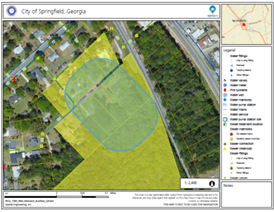
RightSpot™ to provide building and flood zone reports on tax parcels
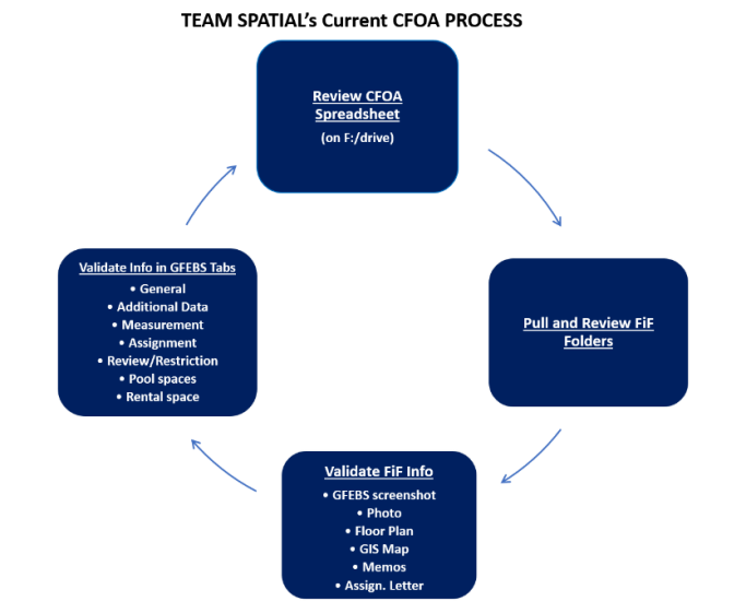
Review and update real property records, perform discrepancy analysis and update GFEBS
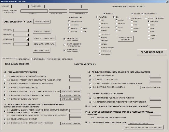
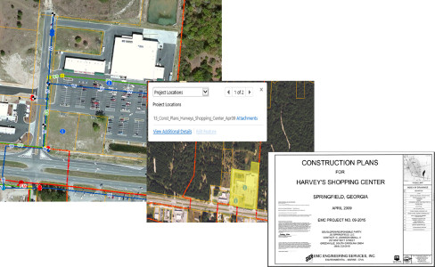
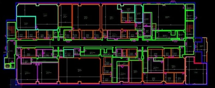
CADD as-builts facility management support services
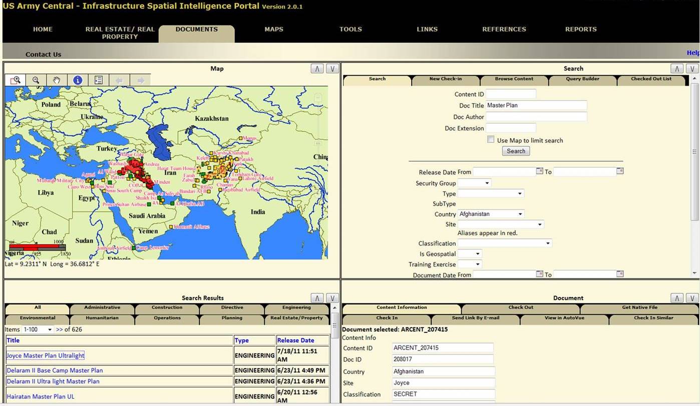
Develop, setup, maintain & support Enterprise GIS real property assets within AOR

Needs assessment, upgrade Enterprise GIS, implementation and training
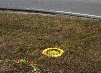
Data collection and inventory of utility system using GPS survey, ground penetrating radar, and as-built reconciliation